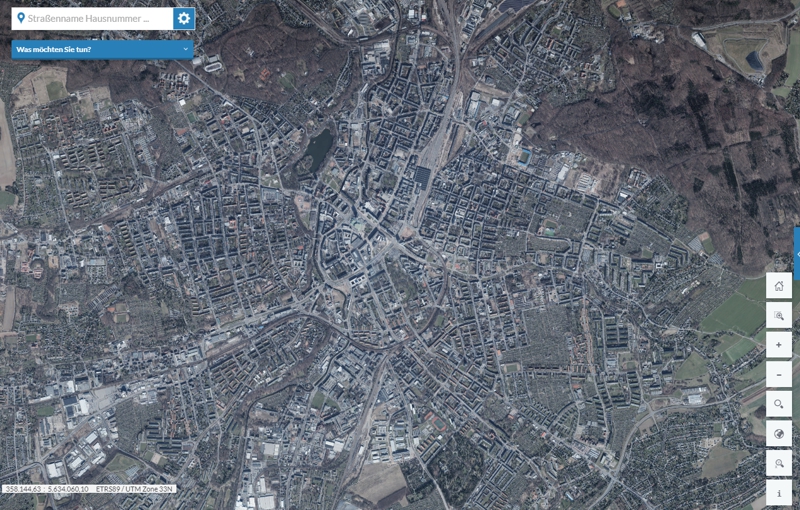
City map of Chemnitz
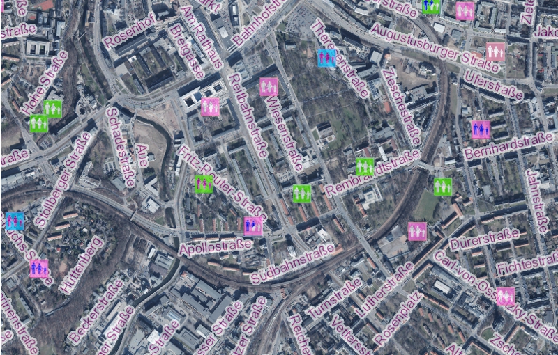
The city of Chemnitz offers an interactive themed city map. In addition to streets and addresses in the Chemnitz city area, the locations of citizen service centres, offices and administrative buildings as well as other authorities can also be displayed here. Day care centres or schools, cultural and sports facilities can also be called up. Outlines or areas can also be displayed, such as city districts, 30 km/h zones or development and redevelopment areas.
You can choose between different map bases, e.g. orthophotos or the normal city map view. Content such as day care centres, leisure facilities etc. can be shown or hidden.