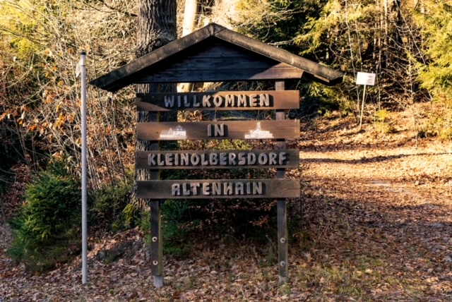
Chemnitz localities
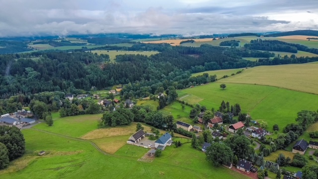
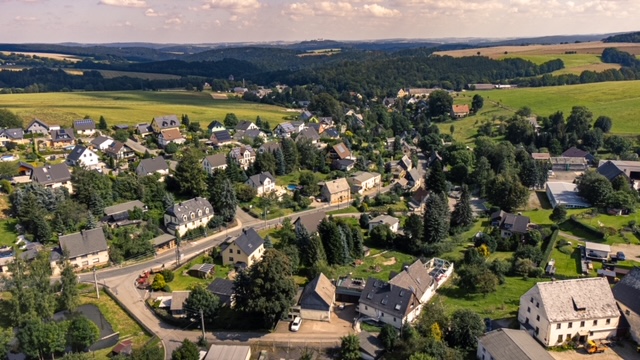
Kleinolbersdorf-Altenhain is the second largest district of the city of Chemnitz in terms of area. The two villages of Kleinolbersdorf and Altenhain are located between Adelsberg and Spitzberg as Waldhufendörfer and formed independent municipalities until their unification on 1 April 1974. On 1 January 1997, the united municipality became part of Chemnitz. The district lies south of the so-called Nordrandstufe and is therefore geologically part of the Erzgebirge.
| Inhabitants:inside | 2.202 |
| Area | 13.10 km² |
| First documented mention | 1317/1322 |
| Year of incorporation | 1.1.1997 |
The first mention of Kleinolbersdorf dates back to 1322, when Olbersdorf was transferred from the Lords of Schellenberg to the Chemnitz Monastery. Altenhain was first mentioned in 1317 as "Altenheyn". The village was always parished to Kleinolbersdorf from 1539.
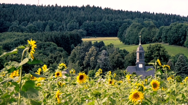
In 1790, the Kleinolbersdorf church was built in the centre of the village in just 9 months by the Altenhain master builder Johann Traugott Lohse. The old church was destroyed by a thunderstorm on 21 July 1789 at an estimated age of 500 years. The altar shrine by Peter Breuer, which is considered a special gem of medieval carving art, was saved.
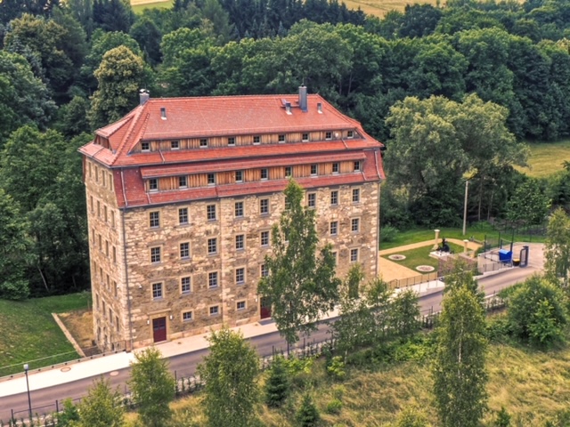
In 1821, the "Hößlersche Spinnmühle" was built by the Altenhain master builder Christian Friedrich Uhlig. A tributary of the village stream was dammed in ponds to operate the spinning mill. There was a water wheel in the basement of the building and the power was transmitted from the wheel chamber directly to the spinning machines on the upper floors through holes in the floor. The spinning mill is one of the last surviving early spinning mills built by the Saxon church architect Christian Friedrich Uhlig. It thus bears witness to the early industrial buildings of Saxony. It is already marked on the topographical map of 1821.
As a "Merkelfabrik" cultural monument, it is now the headquarters of imk automotive GmbH.
Selected sights
- Meridian column K13 - the column stands on the 13th degree of longitude
Geographical coordinates: 50°48'3.6108" North, 13°0'4.014" East
Normal height 484 m above sea level (Amsterdam gauge) - Kleinolbersdorf church
- "Sternmühle" pub (historic pub and mill building)
- Goldener Hahn" restaurant (historic inn)
- Merkel factory" cultural monument
Personalities
- Christian Friedrich Uhlig (* 1774 in Altenhain; † 1848), master builder
- Johann Traugott Lohse (* 1760 in Altenhain; † 1836), master builder
Events and festivals
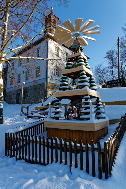
- Pyramid pushing
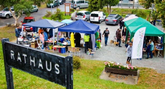
Town hall and citizen service centre
Address
Zum Spitzberg 5
09128 Chemnitz
Tel.: 0371 772561
Fax: 0371 772563
Opening hours
3rd Monday of the month, 2.00 - 5.30 pm
Head of the village and local council
Head of town
Prof Marco Gerlach
Send e-mail
Consultation hours of the local mayor
Tuesdays 16.00 - 18.00 hrs
Local council