Chemnitz localities
Klaffenbach is one of the oldest villages in the Chemnitz district. It was mentioned in documents as early as 1200. At that time, a dense primeval forest still covered the area. The monks of the Benedictine monastery built at that time reclaimed the surrounding land.
Inhabitants (as of July 2021) | 2.315 |
Surface area | 8.66 km² |
Year of foundation | approx. 1150 to 1200 |
Year of incorporation | 1997 |

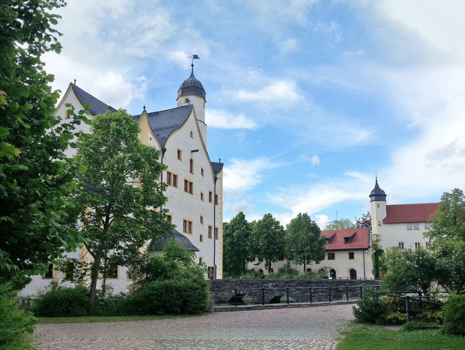

How did the name "Klaffenbach" actually come about? Some believe it is a derivation of "Glava Bog" - the murder site in connection with the legend of St Arno's Cross about Bishop Arno of Würzburg.
However, this cross, which used to be located in the upper part of the village, is merely a boundary stone of the Chemnitz monastery and is therefore not very popular as a name. Others interpret Klaffenbach as a stream in the Klaffe, a narrow, deep valley. Still others derive the name from a rattling, murmuring stream.
The last two interpretations are more likely and are also supported by the majority of the inhabitants. Incidentally, the first documentary reference is "Claffintinbach".
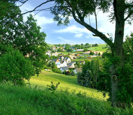
Today, Klaffenbach is the district of the city of Chemnitz that is furthest south. It is bordered by the districts of Hutholz, Markersdorf, Harthau and Einsiedel as well as the municipality of Neukirchen including Adorf and the municipality of Burkhardtsdorf.
The highest elevation - and that of the entire city of Chemnitz - is the Klaffenbacher Höhe at 523.4 metres.
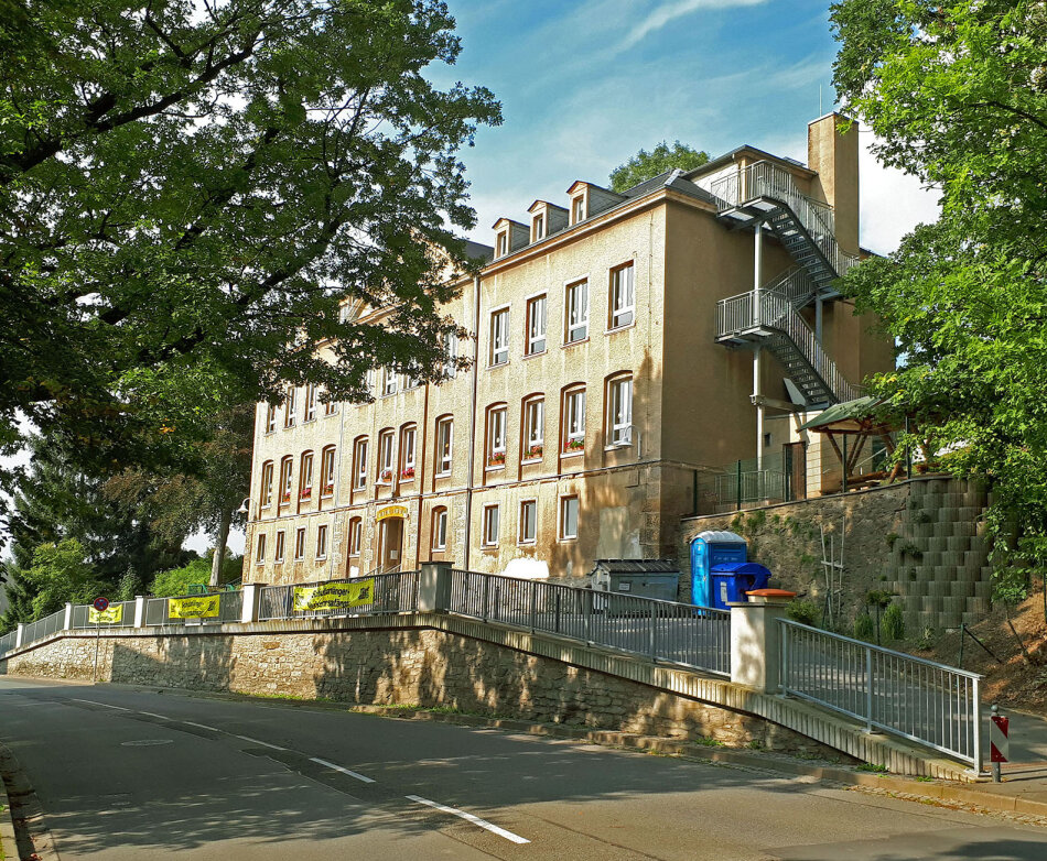
Klaffenbach has been a recognised excursion destination since 1993.
Events and festivals
- Club festival of the Klaffenbach clubs
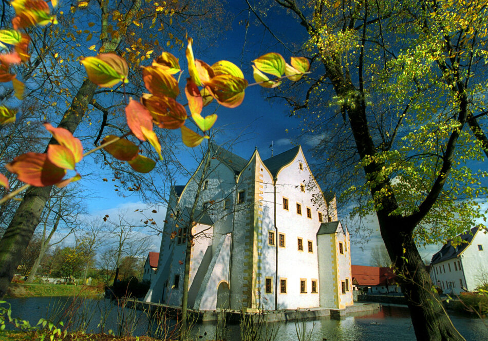
- Various markets at Klaffenbach moated castle
- Various concerts at Klaffenbach moated castle
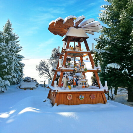
- Traditional pushing of the local pyramid at Christmas time
- Christmas market organised by the Klaffenbach clubs
- Funfair
- Carnival meetings of the Würschnitzthaler Carnevalclub e.V.